top of page


TOPOGRAFÍA CON DRON
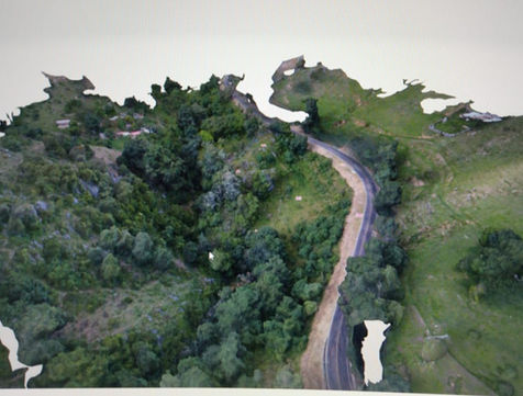
We obtain precise geospatial information through scheduled flights with high-end drones, achieving complete altimetry, planimetry, and contour studies in record time.
This technology allows for coverage of up to 1,000 hectares per day, optimizing resources and reducing operating costs without compromising quality. Ideal for projects requiring efficiency and detail on large areas.
EQUIPMENT

DJI PHANTOM 4 PRO MODIFIED AND
PHANTOM 4 RTK
Capture 4K video
40 mp photos
Flies up to 3000 m above sea level
7 km range
.jpg)
DJI MAVIC 4 PRO
Capture 6K video
100 mp photos
Flies up to 3000 m above sea level
41 km range

FIXED WING WINGTRA GEN II
61 mp photos
Flies up to 5000 m above sea level
65 km of autonomy
Flies at 58 km/hr
bottom of page


