top of page


COUNTING AND CLASSIFICATION OF
vegetable mass
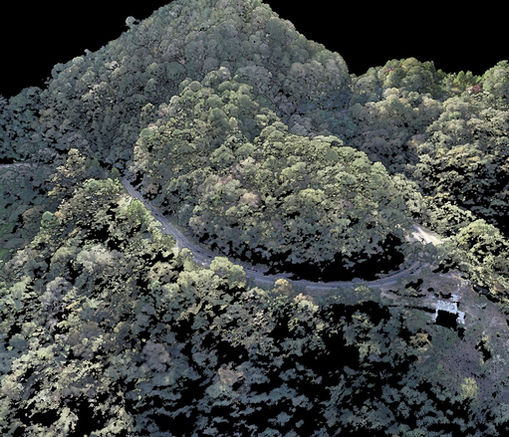
Drone-mounted LiDAR technology allows for high-precision counting and classification of vegetation based on height and location. We cover large areas in a short time and deliver DWG plans and Excel reports with coordinates and key characteristics of each individual plant. This tool is ideal for forest planning, environmental monitoring, and scientific studies.
PROCESS
bottom of page


